Aerial Intelligence

Command

the sky.

Cinematic drone photography and videography. Elevate your luxury property marketing with breathtaking aerial perspectives and unparalleled spatial context.

Scale & Surroundings

Showcase proximity to lakes, mountains, or urban centers.

The Perspective

Context is

everything.

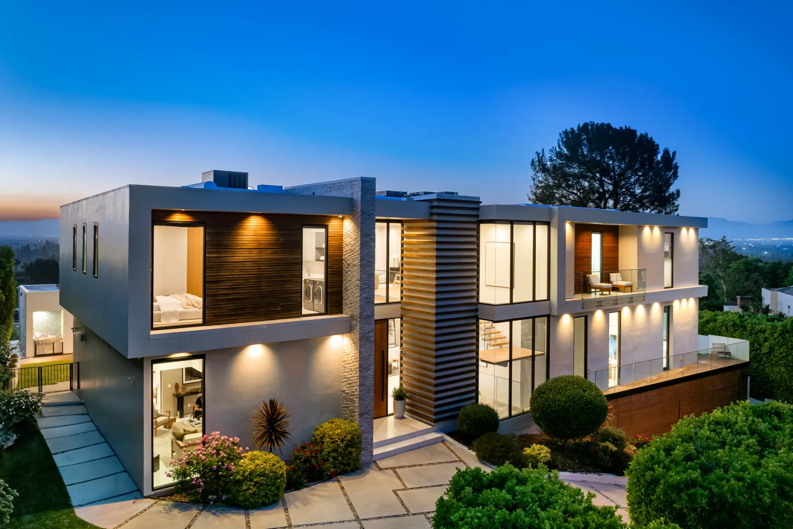
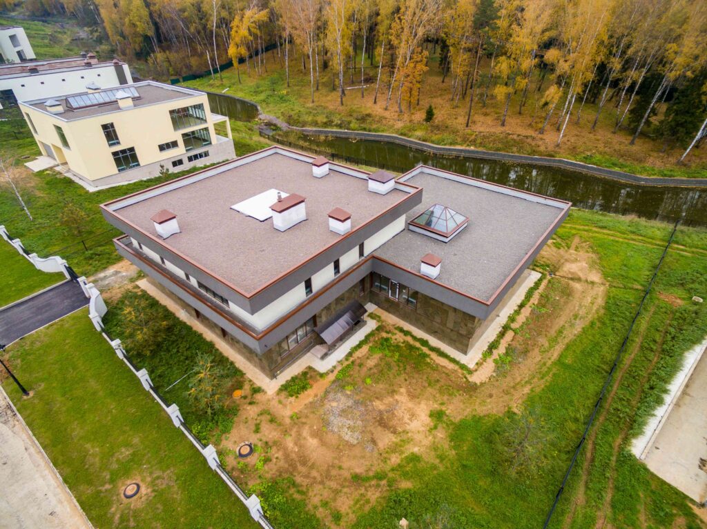
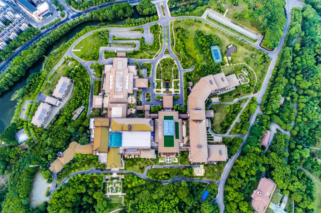
A luxury home is more than its interior square footage; it’s the land it sits on, the neighborhood it inhabits, and the lifestyle it affords. Ground-level photography can only capture a fraction of that narrative.

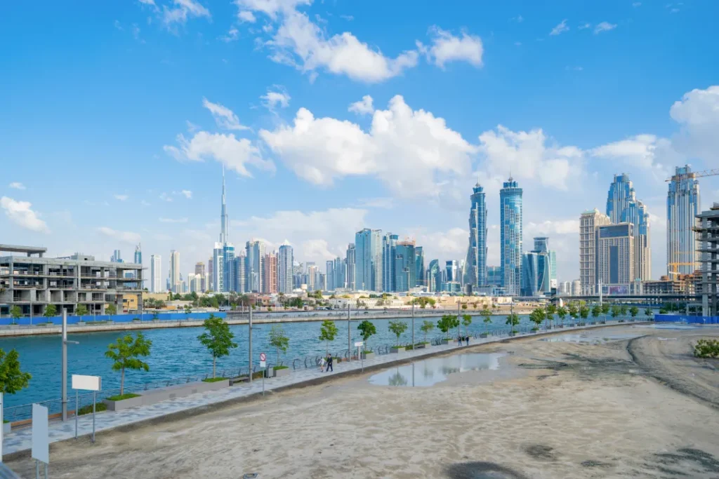
Strategic aerial media immediately establishes grandeur, showcases sweeping property lines, and contextualizes the listing within its environment. It’s not just a photo—it’s establishing dominance in high-end real estate marketing.

Aerial Archives

Breathtaking elevation.

Explore our curation of high-altitude captures, demonstrating precision flight and cinematic composition.

Stills From Above

Architectural

precision.

High-resolution drone photography allows us to capture the entire scope of a property in a single frame. Perfect for showing off expansive lots, intricate rooflines, and backyard paradises.

4K Resolution

Shot and mastered in pristine 4K ensuring incredible fidelity on any screen.

Dynamic Flow

Edited to licensed, premium soundtracks that dictate pacing and emotion.

Dynamic Motion

Cinematic

flythroughs.

Video adds an entirely new dimension to aerial capture. Smooth, sweeping reveals, dynamic orbits around the property, and dramatic zoom-ins immediately establish high production value.

We seamlessly integrate aerial video into our cinematic walkthroughs to create a cohesive, emotionally resonant story of the home and its placement in the world.

The Offering

Aerial marketing suite.

01
01

High-Res Photography

10-15 professionally edited, HDR aerial photographs showcasing front, rear, and top-down perspectives.

02
02

Cinematic Video Clips

Smooth, color-graded 4K drone footage available as a standalone reel or integrated into your property walkthrough.

03
03

Property Boundaries

Custom graphical outlines overlaid on key images to clearly communicate parcel size and property lines.

The ROI

Elevating the

perceived value.

Properties marketed with professional drone imagery consistently outperform standard listings. They capture attention in crowded MLS feeds and convey a premium status instantly.

“Listings featuring professional drone photography sell 68% faster than homes with standard images.”

Flight Operations

Mission

Control.

01
01

Airspace & Clearance

Comprehensive FAA Part 107 checks, weather monitoring, and immediate airspace authorizations to ensure safe and legal flights before deployment.

02
02

Flight Strategy

Strategic mapping of optimal angles, elevations, and lighting conditions designed specifically to highlight property boundaries and structural scale.

03
03

Precision Capture

Cinematic aerial execution utilizing 4K sensors, large aperture lenses, and advanced gimbal stabilization for flawless tracking and reveals.

04
04

Post & Delivery

Expert color grading, horizon leveling, and custom property boundary overlays applied in post-production, delivered within 24–48 hours.

Service Area

Northern

Colorado.

We travel to capture the region’s finest properties. Based in Fort Collins, we intimately understand the diverse landscapes, natural light patterns, and architectural nuances of the Front Range.

  • Fort Collins
  • Windsor
  • Longmont
  • Timnath
  • Loveland
  • Greeley
  • Wellington
  • Severance

Yes, absolutely. All of our drone operations are conducted by FAA Part 107 certified remote pilots. We also carry dedicated aviation liability insurance for every flight, ensuring complete peace of mind and strict legal compliance.

Details

Common

Inquiries.

We believe in complete transparency. Review our most frequently asked questions regarding the shoot process, editing, and delivery.

Still have questions?

Start Your Project

Command your

market.

Reserve your date or schedule a private consultation to discuss your vision.